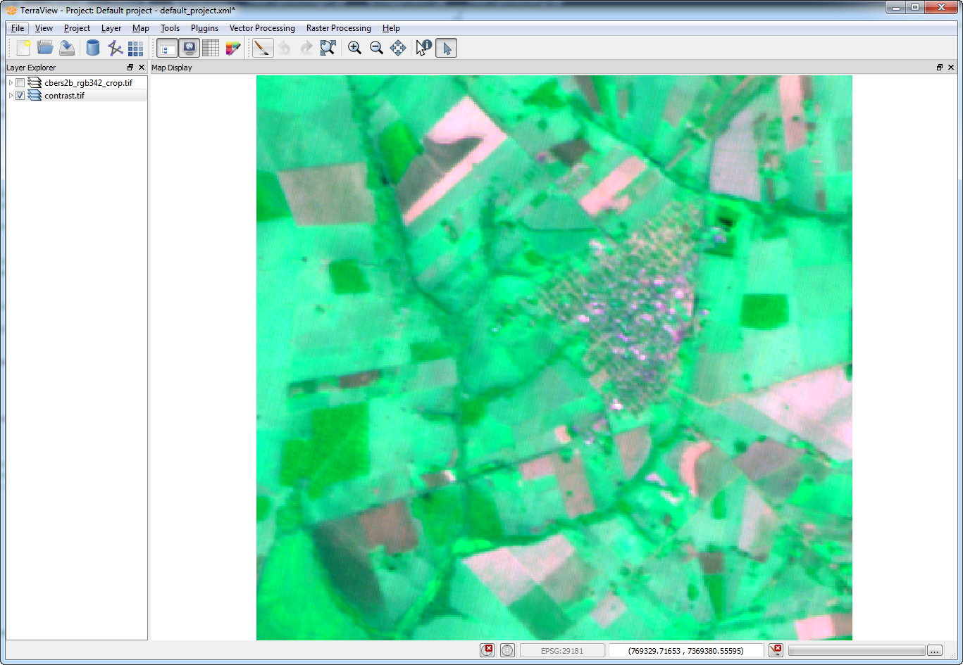
The Contrast is a component
build as wizard interface and implements methods to
apply contrast enhancement on the selected bands of a raster.
Input:
One Raster,
A vector of bands indices where the contrast will be applied.
The
available methods in Terralib
are:
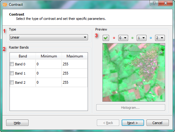
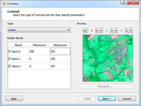
Linear: The user defines
a new minimum and maximum values for the pixels in the image. The
algorithm then applies a linear function over the pixels using this 2
values.
Histogram Equalization:
Using this method, the histogram of the image will be equalized
automatically.
Set Mean and Standard Deviation:
The contrasted image will have a predefined mean and standard
deviation, defined by the user.
It is
accessible through:
Layer
Explorer > Right Click over a
Layer-name > Raster
Processing > Contrast... (applies on selected layer)
Raster Processing >
Contrast...(list
of all
layers will be available)
This
wizard consists of the
following steps:
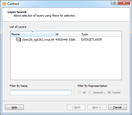
Wizard Page 1 - Selection
of the layer with the desired raster (Layer Search).
NOTE: This page will only
appear if the user has accessed the contrast operation from the
menu "Raster Processing".
Wizard Page 2 - The
contrast interface.
To execute this operation is
required the following steps:
Select the type of contrast to be used,
Set specific parameters (the parameters will vary depending on
the selected contrast type).