Mixture Model
The
Mixture
Model is a component
build as wizard interface and implements raster
decomposition
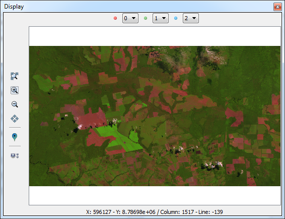
using the mixture model
strategy. The spatial resolution of remote sensing satellites, in
general, allows that a single pixel contains more than a target (for
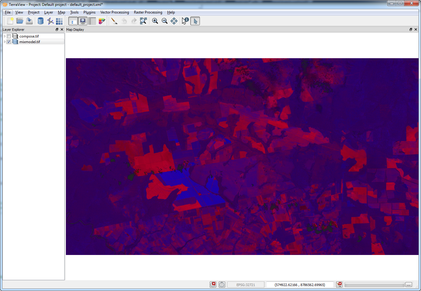
example vegetation + shadow + soil). The mixture model algorithms allow
to decompose the raster into fraction images, where the value of the
resultant pixels indicate the fraction of each target inside the pixel.
Input:
- A map of pure endmembers,
which are pixel values where the user knows the exact proportion of a
component.
- Sensor information for each
band, if available
The
available methods in Terralib
are:
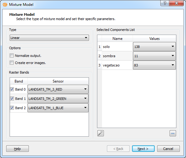
- Linear:
It is calculated
by the following equation:
- ri
is the pixel value at band i,
- aij
is the known value of the
component j
at band i,
- xj
is the proportion
of component j,
- ei
is the estimation error for band i.
- PCA:
The component matrix
is transformed using Principal Component Analysis, and the fraction of
each component is obtained by using the proper number of eigenvectors.
It
is
accessible through:
Layer
Explorer > Right Click over
a
Layer-name
> Raster
Processing > Mixture Model... (applies
on selected layer)
Raster
Processing > Mixture
Model...
(list of all
layers will be available)
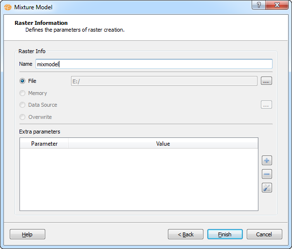
This
wizard consists of the
following steps:
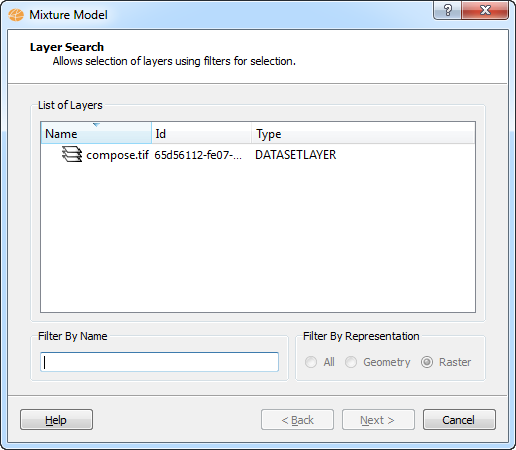
Wizard Page 1 - Selection
of the layer with the desired raster (Layer Search).
NOTE:
This page will only
appear if the user has accessed the mixture model
operation from
the
menu "Raster
Processing".
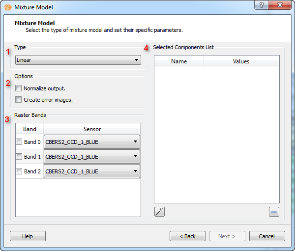
Wizard Page 2 - The
mixture model interface.
To
execute this operation is
required the following steps:
- Select the type of mixture
model to be used and set specific
parameters (the parameters will vary depending on the selected contrast
type).
- Optional parameters:
- Normalize output:
indicate that output raster will be normalized, by default [0, 255].
- Create error images:
indicate that output raster will include the error bands.
- Select the input bands and
the sensor information for each band.
- List of acquired components.
The
acquisition of components
is achieved by selection of samples over the raster. The wand button
will display the Raster
Navigator Interface, enabling
the acquisition of components.