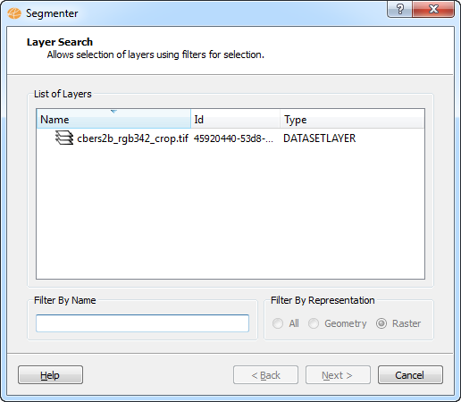
NOTE: This page will only
appear if the user has accessed the segmenter operation from the
menu "Raster Processing".
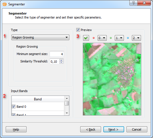
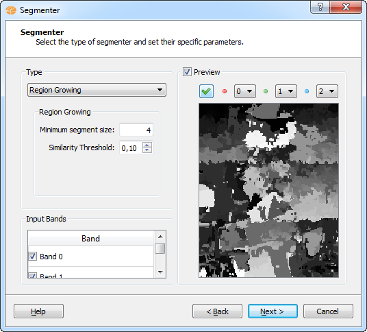
Wizard Page 2 - The
segmenter interface.
To execute this operation is
required the following steps:
- Select the type of segmenter to be used and set specific
parameters (the parameters will vary depending on the selected contrast
type).
- Select the input bands to be used in segmenter operation.
- Preview (through the Check
button).
Wizard Page 3 - The
segmenter advanced parameters interface.
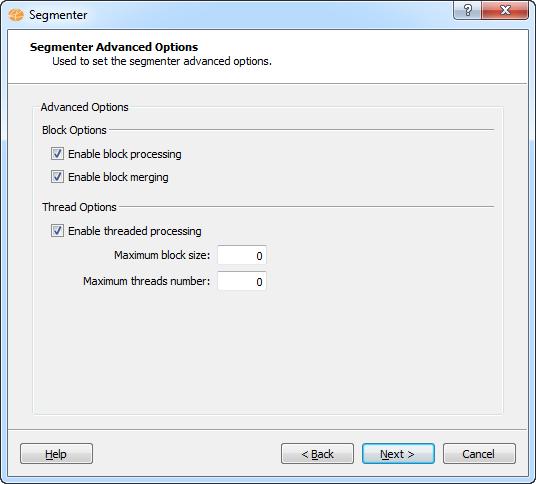
- Block options:
- Enable block processing:
If checked, the original raster will be splitted into small blocks,
each one will be segmented independently and the result will be merged
(if possible) at the end.
- Enable block merging:
If checked, a block merging procedure will be performed
- Thread options:
- Maximum block size: The input image
will be split into blocks with this width for processing, this
parameter tells the maximum block lateral size (width or height). The
default behavior, the size will be defined following the current system
resources and physical processors number.
- Maximum threads
number: The maximum number of concurrent threads. The
default behavior is: automatically found.
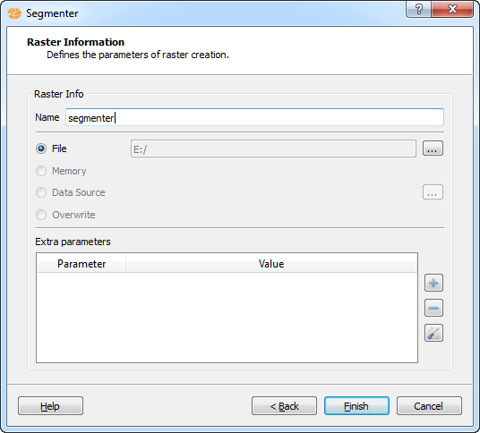
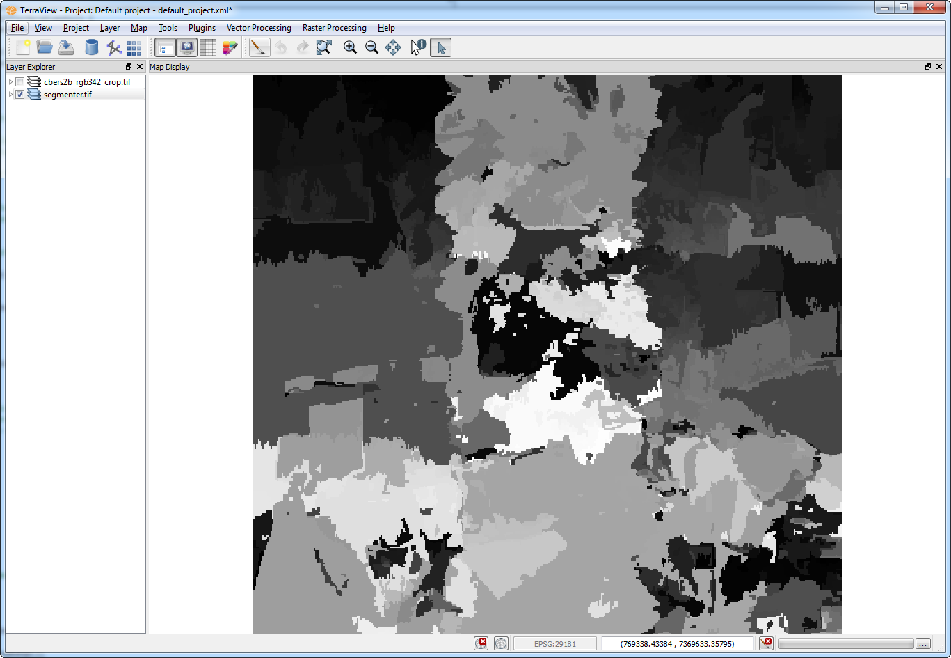
The result
of this operation is shown in the figure below.