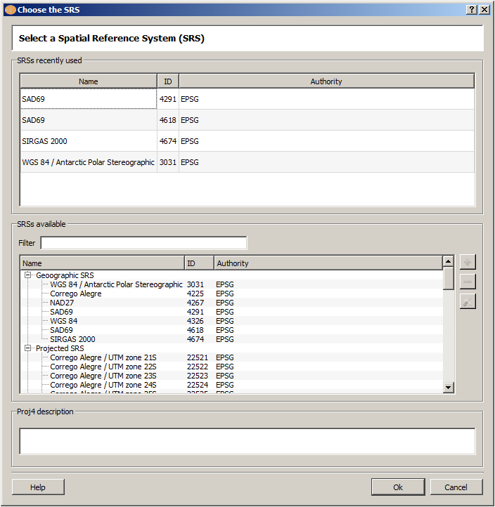
The Spatial Reference System interface is used to define or change the SRID of a layer, and also to set or change the map display SRID.
It is accessible through:
Layer Explorer > Right Click over a Layer-name > Inform SRS...
Map Display > Right Click inside the map display area > SRS...
Use Tools > Customize... > Tool Bars > SRS and/or SRID to make both icons available at the tool bar. There is also a icon called UnknownSRID used to reset the map display SRID.
When more than one layer is selected to be drawn, the first valid layer SRID is used to set the map display SRID, and the other layers are remapped if necessary.
To choose a SRID, click over its Name at SRSs Available list, note the Proj4 description and click on OK.
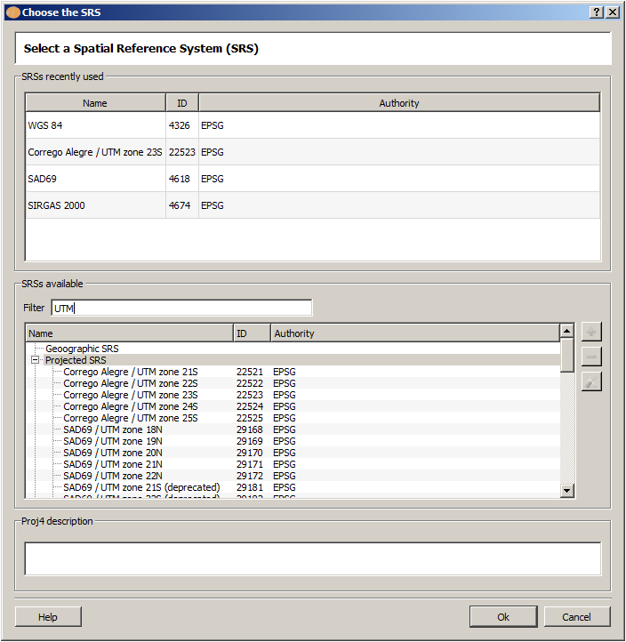
To help finding a SRS, fill Filter field with a meaningful word (or a SRID) to see a subset of SRSs which contain that word (or that SRID) at the list SRSs available.
For example fill the word UTM in Filter and see all SRID that have this word in its definition. Try to fill Filter with the following words one at once and see the SRSs showed: Corrego Alegre, Sirgas, 2916, 29168, etc.
The addition, removing and edition of SRSs using this interface are under development. However, you can edit the configuration file srs.json and update the definitions available there.
If you wish to include a user defined SRS you have to provide a not used before SRID greater than 100000, a name, and a valid PROJ.4 description for it. It will be listed under the "User defined SRS" division of the interface.