
:: Gilberto Câmara ::
Welcome! Please visit my new homepage at https://gilbertocamara.org
I am a researcher on Geoinformatics, GIScience, Spatial Data Science, Land Use Change. and Earth Observation, working in the Image Processing Division of INPE, Brazil's National Institute for Space Research. I have published over 230 papers that have been cited more than 12600 times (as of April 2020) and advised 23 PhD dissertations and 28 MsC thesis. For more information, please see my short CV or my complete CV. Contact me by email or follow me at Twitter .
I been appointed Director of the Secretariat of the Group on Earth Observations (GEO), for the period July 2018 to June 2021. As director for GEO Secretariat, I hope to work with the GEO community to develop Open Science practices to help developing nations to use Earth observation data for improving societal well-being and sustainable development practices.
Current Research
|
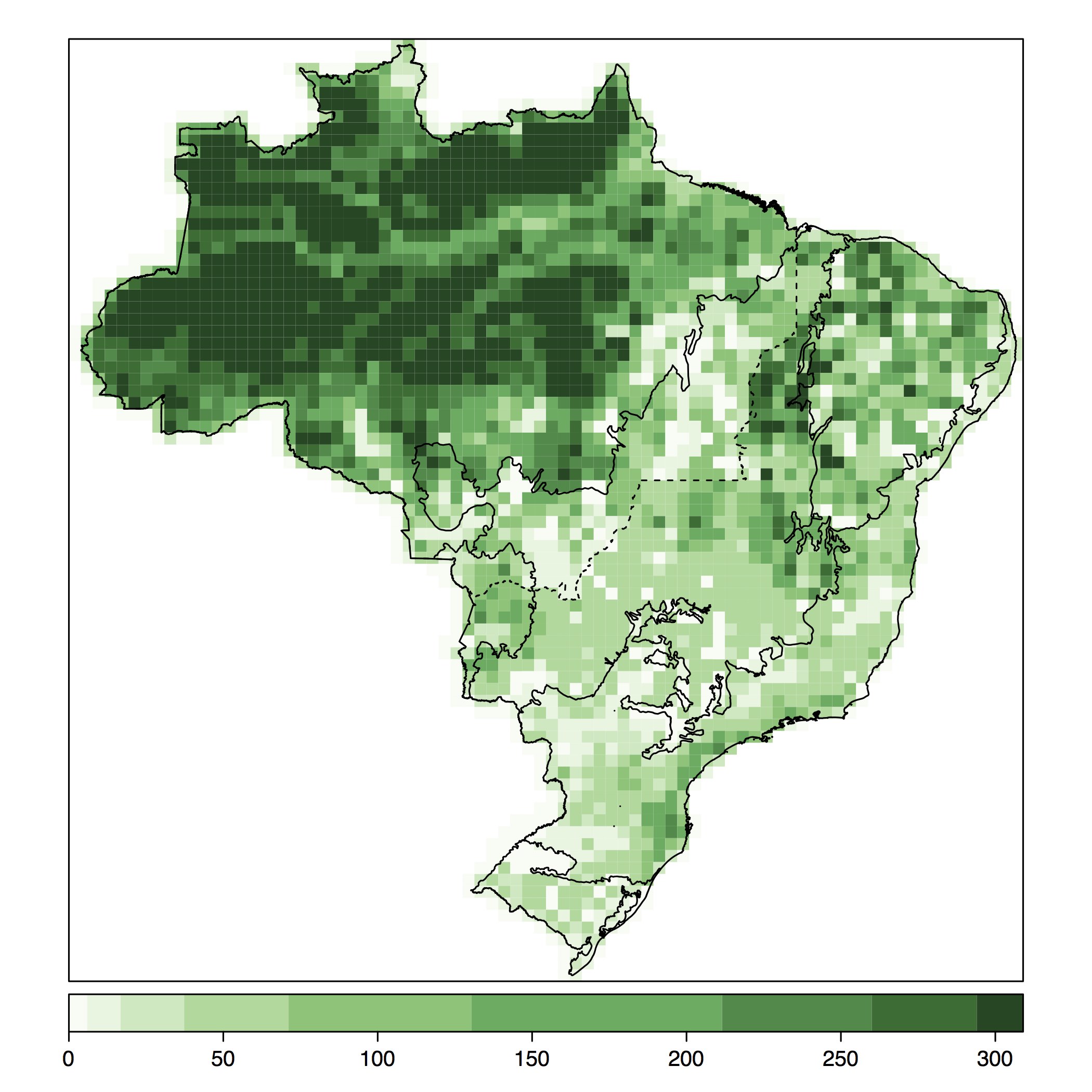
Big Earth Observation Data AnalyticsFinanced by FAPESP (2015-2019) and by BNDES (2019-2022)The e-sensing project is conceiving, building and deploying an innovative knowledge platform for organization, access, processing and analysis of big Earth observation data. This platform uses cloud computing and enables new methods for space-time analysis of Earth observation images using the R statistical language. |
Past Research Highlights
|
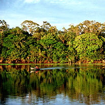
Land Use Change ModellingFinanced by ICI/Germany and SNAPP/UCSBIn partnership with IPEA and IIASA, our team worked in developing scenarios for long-term land use change in Brazil. In the REDD-PAC project, we built different scenarios of how the Forest Code could be enforced. We also modelled the extent of forest regeneration and agricultural expansion. Our Brazilian team which, working together with researchers from IIASA (International Institute for Applied System Analysis), developed the technical studies that support the land use component of Brazil’s Nationally Determined Contribution (NDC) to the Paris Agreeement on Climate Change. |
|
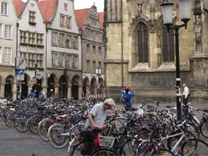
Brazil Chair in Münster01 June 2013From 01.06.2013 until 30.05.2015, I moved to the University of Münster, Germany, where I held the Brazil Chair at the Institute for Geoinformatics. I led the "Big Geospatial Data Lab" at IFGI. |
|
LUA/IAMFinanced by FAPESP (2010-2014)The LUA-IAM project developed innovative research on land use change in Amazonia. The final project report describes its novel results, including interesting work on agent-based modelling of frontier areas. |
|
TerraMEFinanced by CNPq (2011-2013)TerraME is a toolbox for spatial dynamical modelling that supports cellular automata, agent-based models, and network models. TerraME is coupled with TerraLib geodatabases. Its modelling language enables multi-scale and multi-paradigm models for environmental applications. Project partners are UFOP and INPE. More info on www.terrame.org. |
