Polygon to Line
The
Polygon
to Line
operation generates a new layer of lines based on a layer of polygons. The
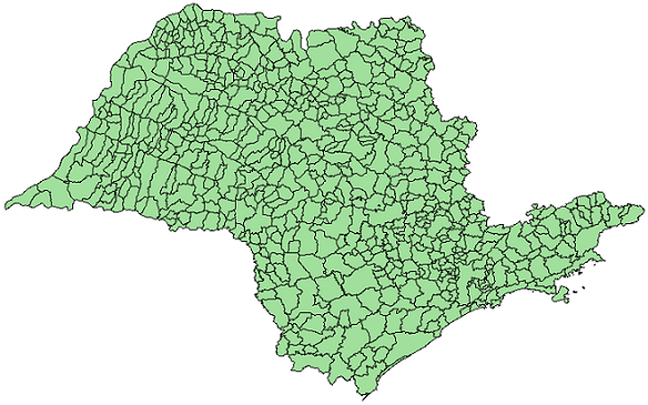
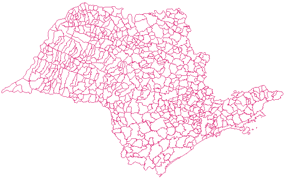
figure bellow shows an examples of polygon to line operation.
 |
 |
| Input
layer of polygons. |
Output
layer of lines. |
The output is a new layer that
contains all data values of the input layer including the lines
objects.
It is
accessed through:
Processing > Vector Processing > Polygon
to Line...
- Select
the Input layer
to apply the operation. The input layer needs to be composed by polygons.
- Optionally,
check the option Only selected if
you wish to
process only the objects that are selected in the map display.
- Inform the Output
Repository
by clicking on:
 to
select the output
directory and also inform the new layer name to store the result, or
 to
select the Data Source.
- Inform the new Layer
Name
to store the operation result, if the repository is a data source.
- Click OK
to perform the
operation or Cancel
to close the interface.
Usage
Tips:
The Polygon to
Line result can be stored in different TerraLib data sources.
Check data
source selector for more
details on how to select a data source.


