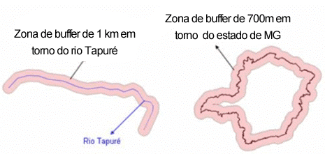
The Buffer spatial operation generates buffer zones (or zones of influence) around the geometry of objects of a layer, considering a predefined distance. The figure bellow shows examples of buffer zones around a river or an municipality.
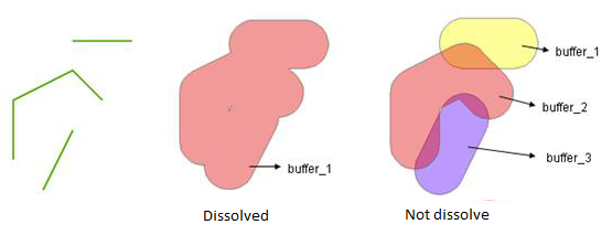
If the geometry of the objects are polygons it is possible to ask for internal and/or external buffers, as can be seen in the next figure.
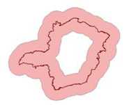
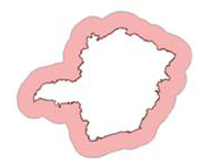
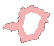
Inside and outside buffer Only outside buffer Only inside buffer
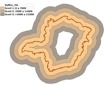
It is possible to ask for several levels of buffers. Selecting a distance d and n levels will result in n buffers each at a distance d*(n-1). The next figure shows an example of buffers at multiple levels.
As the buffers around different objects might overlap, it is possible to request the dissolving of the boundaries inside the overlapping areas. This is illustrated in the next figure.
Go to Vector Processing > Buffer... to obtain the following interface:
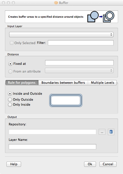
The buffer result can be stored in different TerraLib datasources. Check data source selector for more details on how to select a data source.
The option to use only selected objects from the Input layer is under development.
The option to use buffer distance for each object based on one of its attributes is under development.