Interface usage
Go to Vector Processing > Intersection... to obtain the following interface:
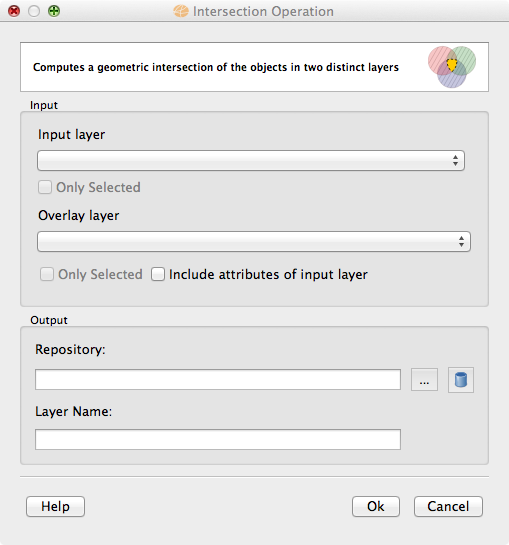
Usage tips
The Intersection result can be stored in different TerraLib datasources. Check data source selector for more details on how to select a data source.
If the Input layer and the Overlay layer are in different SRSs (Spatial Reference System) the geometries of the Overlay layer will be converted before executing the operation. If only one of them have an unknown SRS a message will be issued, since no conversion will not be possible and the result might be incorrect.
The option to use only selected objects from the Input and/or Overlay layers is under development.