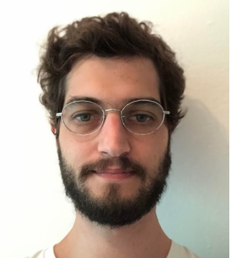
Rafael Grinberg Chasles
Master student - Claúdio Barbosa,
INPE
Rafael Chasles holds a bachelor’s degree and a degree in Geography from Universidade Federal de Santa Catarina, specialist in geoprocessing and Master’s student in Remote Sensing at INPE. He has already worked as an Environmental and Socioeconomics Analyst in environmental licensing of wind and solar projects in the company ENGIE BRASIL ENERGIA. Contributed to the project "Monitoramento do Uso e Cobertura da Terra", do IBGE and tutored the Civil Defense Basic Training Course through funding from the Secretaria Nacional de Proteção e Defesa Civil (SEDEC), in partnership with Centro Universitário de Estudos e Pesquisas sobre Desastres (CEPED). Rafael was a scholarship CAPES and worked as a geography teacher in public schools in Santa Catarina. Acted as a geoprocessing consultant in the project "Configurações de redes financeiras e microfinanceiras no Brasil: mudança espacial, tecnológica, normativa, econômica e política" and as a remote sensing specialist in the project “Monitoramento Ambiental dos Biomas Brasileiros por Satélite: Mata Atlântica, Caatinga, Pampa e Pantanal”. He is currently on leave as a teacher at the SENAC SP of the courses: Environmental Technician, Elaboration of Expert Reports, Environmental Licensing and Environmental Geotechnologies for the completion of the master’s degree. Acts as a geoprocessing consultant for the company Dynatest Engenharia, in road projects located in Bolivia and Brazil.
LattesEducation
-
Mestrado em Sensoriamento Remoto, 2022
Instituto Nacional de Pesquisas Espaciais, INPE, Brasil.
-
Graduação em Geografia., 2015
Universidade Federal de Santa Catarina, UFSC, Brasil.