|
|
|
Climatic Data

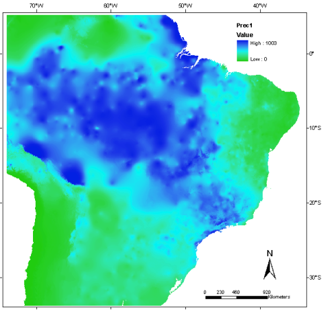
Climatic data were obtained from WorldClim-Global Climate Data, a global climatic database which provides layers at different spatial resolutions related to the current climate, and to the past and future climate scenarios. Details about climate data acquisition and processing are available at: (www.worldclim.org)
From WorldClim, climate data correspond to meteorological ground station observations obtained from 1950 to 2000 that were interpolated into 30 arc-seconds (~ 1 km) of spatial resolution (HIJMANS et al. 2005). Temperature values are provided in Celsius degrees *10, and the values of rainfall in millimeters.
Climatic data can be downloaded as a single file comprising all variables or in a specific file for each variable.
|
|