|
|
|
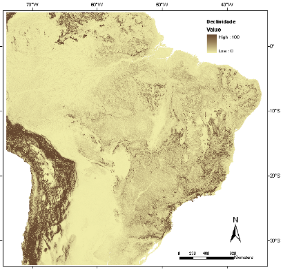
Slope

Slope is the inclination of a surface in relation to the horizontal, i.e. the ratio between the difference in height between two points and the horizontal distance between these points.
It is given by the angle of inclination (Zenith) from the ground surface in relation to the horizontal. Slope values can range from 0° to 90°, and it is also commonly expressed as percentage.
The slope asc-grid file was generated from the altitude asc-grid file and its values are expressed expressed in degrees.
|
|