|
|
|
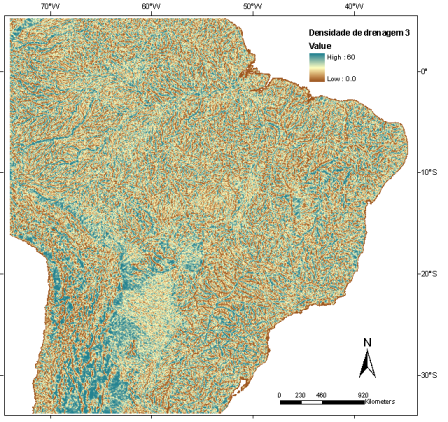
Drainage Density

An algorithm of spatial density interpolation (kernel) was applied over the drainage network to create the drainage density data (Ximenes 2008).
The original drainage data was obtained from HydroSHEDS project (Lehner et al. 2006), derived from images SRTM (Shuttle Radar Topographic Mission) at spatial resolution of 15 arc-second, or approximately 500 m.
The final drainage density data consider 0,27 degrees as influence radius and spatial resolution of 1 km (Ximenes 2008).
|
|