|
|
|
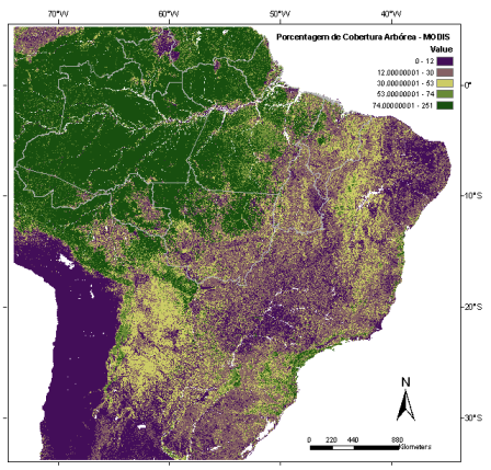
MODIS - Percent Tree Cover

The MODIS (MODerate-resolution Imaging Spectroradiometer) global percent tree cover map has been used as an indicator of forest cover for species distribution modeling.
Percent Tree Cover is related to the forest canopy cover derived from global data acquired between 2000 and 2001.
It is generated from monthly composition of spectral bands from MODIS sensor, onboard of TERRA satellite from NASA, providing images of 500 m of spatial resolution (Hansen et al. 2003).
Details about MODIS Percent Tree Cover can be obtained at http://glcf.umiacs.umd.edu/data/vcf/ .
|
|